

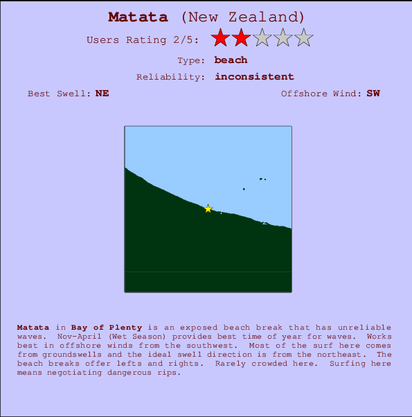
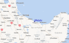
Matata Surf Guide
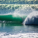
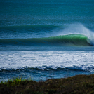
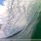
Matata in Bay of Plenty is an exposed beach break that has unreliable waves. Nov-April (Wet Season) provides favoured time of year for waves. The best wind direction is from the southwest. Most of the surf here comes from groundswells and the ideal swell direction is from the northeast. The beach break provides left and right handers. It very rarely gets crowded here. Watch out for dangerous rips.
Matata Spot Info
| Type: | Rating: | Reliability: | Todays Sea Temp*: |
|---|---|---|---|
| inconsistent | 14.5°C*ocean temperature recorded from satellite |
Surfing Matata:
The best conditions reported for surf at Matata occur when a Northeast swell combines with an offshore wind direction from the Southwest.

Voorspelde Golfenergie (Kracht): 12 uur


Matata Surf:
Wednesday, 29 July 2026, 02:51 Local time| Wednesday 29 | ||||
| 3AM | 6AM | 9AM | 12PM | |
| Wave (m) | ||||
| Periode (s) | 17 | 16 | 16 | 10 |
| Wind (km/h) | ||||
| Wind | cross- off |
cross- off |
cross- off |
glass |
- /breaks/Matata/forecasts/latest
Matata Surf Guide
Matata in Bay of Plenty is an exposed beach break that has unreliable waves. Nov-April (Wet Season) provides favoured time of year for waves. The best wind direction is from the southwest. Most of the surf here comes from groundswells and the ideal swell direction is from the northeast. The beach break provides left and right handers. It very rarely gets crowded here. Watch out for dangerous rips.
Matata Spot Info
Type: Rating: Reliability: Todays Sea Temp*:  Beach
Beach 2
2inconsistent 14.5°C*ocean temperature recorded from satelliteSurfing Matata:
The best conditions reported for surf at Matata occur when a Northeast swell combines with an offshore wind direction from the Southwest.
Voorspelde Golfenergie (Kracht): 12 uur
Gebruik de tabbladen hierboven om de zeewatertemperatuur bij Matata te bekijken, foto's van Matata, Matata gedetailleerde golfvoorspellingen, wind- en weersvoorspellingen, Matata webcams, actuele wind in Bay of Plenty live weerstations en Matata getijdenvoorspellingen. De link van New Zealand golfkaarten opent een grote afbeelding van New Zealand en de omliggende zeeën. Deze golfkaarten kunnen worden dynamisch gemaakt worden met de verschillende golfcomponenten, golfenergie, golfperiode, golfhoogte, samen met de wind en weersvoorspellingen, het actuele weer en de zeetoestand volgens golfboeien uit New Zealand, langskomende schepen en weerstations op de kust. Elk voorspelling pagina's voor dit surfstrand zijn voorzien van een wereldwijde en regionale golfzoeker om de beste surfsomstandigheden in het gebied rond Matata te vinden.
Matata Surf:
Wednesday, 29 July 2026, 02:51 Local timeWednesday 29 3AM 6AM 9AM 12PM Wave (m) Periode (s) 17 16 16 10 Wind (km/h) Wind cross-
offcross-
offcross-
offglass - /breaks/Matata/forecasts/latest
- /breaks/Matata/forecasts/latest/six_day
Matata Surf Guide
Matata in Bay of Plenty is an exposed beach break that has unreliable waves. Nov-April (Wet Season) provides favoured time of year for waves. The best wind direction is from the southwest. Most of the surf here comes from groundswells and the ideal swell direction is from the northeast. The beach break provides left and right handers. It very rarely gets crowded here. Watch out for dangerous rips.
Matata Spot Info
Type: Rating: Reliability: Todays Sea Temp*: Beach2inconsistent 14.5°C*ocean temperature recorded from satelliteSurfing Matata:
The best conditions reported for surf at Matata occur when a Northeast swell combines with an offshore wind direction from the Southwest.
Voorspelde Golfenergie (Kracht): 12 uur
Gebruik de tabbladen hierboven om de zeewatertemperatuur bij Matata te bekijken, foto's van Matata, Matata gedetailleerde golfvoorspellingen, wind- en weersvoorspellingen, Matata webcams, actuele wind in Bay of Plenty live weerstations en Matata getijdenvoorspellingen. De link van New Zealand golfkaarten opent een grote afbeelding van New Zealand en de omliggende zeeën. Deze golfkaarten kunnen worden dynamisch gemaakt worden met de verschillende golfcomponenten, golfenergie, golfperiode, golfhoogte, samen met de wind en weersvoorspellingen, het actuele weer en de zeetoestand volgens golfboeien uit New Zealand, langskomende schepen en weerstations op de kust. Elk voorspelling pagina's voor dit surfstrand zijn voorzien van een wereldwijde en regionale golfzoeker om de beste surfsomstandigheden in het gebied rond Matata te vinden.
Matata Surf:
Wednesday, 29 July 2026, 02:51 Local timeWednesday 29 3AM 6AM 9AM 12PM Wave (m) Periode (s) 17 16 16 10 Wind (km/h) Wind cross-
offcross-
offcross-
offglass - /breaks/Matata/forecasts/latest
Matata Surf Guide
Matata in Bay of Plenty is an exposed beach break that has unreliable waves. Nov-April (Wet Season) provides favoured time of year for waves. The best wind direction is from the southwest. Most of the surf here comes from groundswells and the ideal swell direction is from the northeast. The beach break provides left and right handers. It very rarely gets crowded here. Watch out for dangerous rips.
Matata Spot Info
Type: Rating: Reliability: Todays Sea Temp*: Beach2inconsistent 14.5°C*ocean temperature recorded from satelliteSurfing Matata:
The best conditions reported for surf at Matata occur when a Northeast swell combines with an offshore wind direction from the Southwest.
Voorspelde Golfenergie (Kracht): 12 uur
Gebruik de tabbladen hierboven om de zeewatertemperatuur bij Matata te bekijken, foto's van Matata, Matata gedetailleerde golfvoorspellingen, wind- en weersvoorspellingen, Matata webcams, actuele wind in Bay of Plenty live weerstations en Matata getijdenvoorspellingen. De link van New Zealand golfkaarten opent een grote afbeelding van New Zealand en de omliggende zeeën. Deze golfkaarten kunnen worden dynamisch gemaakt worden met de verschillende golfcomponenten, golfenergie, golfperiode, golfhoogte, samen met de wind en weersvoorspellingen, het actuele weer en de zeetoestand volgens golfboeien uit New Zealand, langskomende schepen en weerstations op de kust. Elk voorspelling pagina's voor dit surfstrand zijn voorzien van een wereldwijde en regionale golfzoeker om de beste surfsomstandigheden in het gebied rond Matata te vinden.
Matata Surf:
Wednesday, 29 July 2026, 02:51 Local timeWednesday 29 3AM 6AM 9AM 12PM Wave (m) Periode (s) 17 16 16 10 Wind (km/h) Wind cross-
offcross-
offcross-
offglass Tide Times:
Op Matata (0 km).
VOLGENDE IS OM (lokale tijd) resterende tijd hoog water laag water Matata Tide Times and Tide Chart
Live Weather:
At Whakatane, 22 km from Matata.
wind obs. (6 kph from 0 degs) was rejected
(km/h)
DryAir temperature
4.5°COverall Matata Surf Consistency and Wind Distribution in July
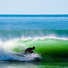
surffoto's uit
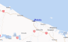
de galerijContourlijnen: Wegen & Rivieren: Kies een surflokatie uit het menu 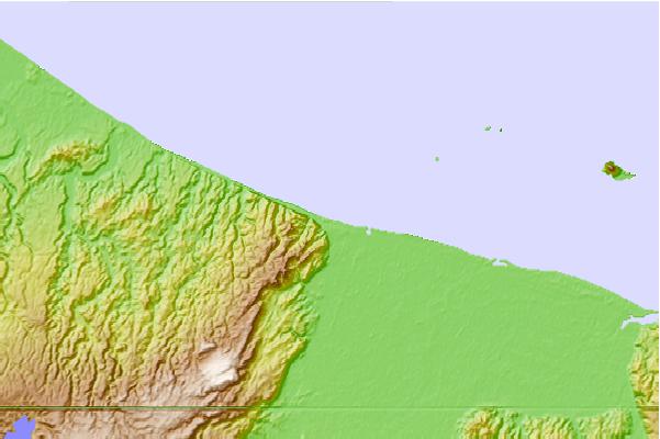
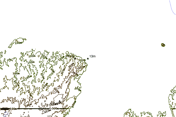
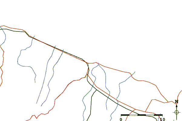
Gebruik deze reliëfkaart om naar de surfspots en de getijdenstations van Bay of Plenty toe te gaan, in de buurt van Matata.
Andere Dichtbijzijnde Surflocaties van Matata:
(klik op locatienaam voor meer informatie)- Closest Locatie14 mi
- Second closest Locatie16 mi
- Third closest Locatie17 mi
- Fourth closest Locatie19 mi
- Fifth closest Locatie20 mi
Dichtstbijzijnde golfboeien bij Matata:
- Closest golfboei16 mi
- Second closest golfboei185 mi
- Third closest golfboei264 mi
- Fourth closest golfboei282 mi
- Fifth closest golfboei299 mi
Getijdenstations in de buurt van Matata:
- Closest getijdenstationMoutohora (Whale) Island12 mi
- Second closest getijdenstationWhakatane14 mi
- Third closest getijdenstationOhope Wharf20 mi
- Fourth closest getijdenstationOhiwa21 mi
- Fifth closest getijdenstationTauranga35 mi
Airports
- The closest passenger airport to Matata is Whakatane Airport (WHK) in New Zealand, 14 km (9 miles) away (directly).
- The second nearest airport to Matata is Rotorua Airport (ROT), also in New Zealand, 46 km (29 miles) away.
- Third is Tauranga Airport (TRG) in New Zealand, 55 km (34 miles) away.
- Taupo Airport (TUO) in New Zealand is 112 km (70 miles) away.
- Hamilton Airport (HLZ), also in New Zealand is the fifth nearest airport to Matata and is 125 km (78 miles) away.
- /breaks/Matata/forecasts/latest


 Nearest