

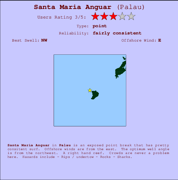
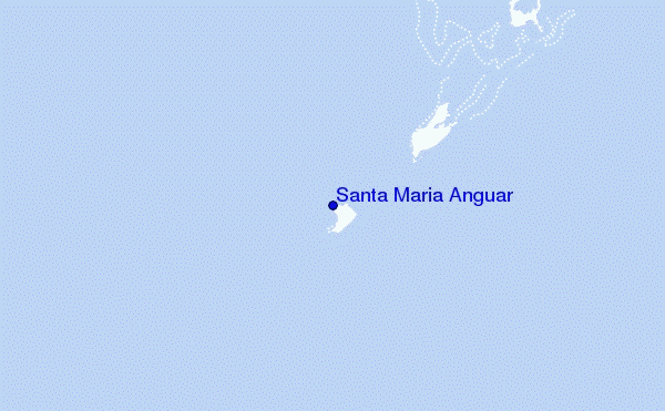
Santa Maria Anguar Surf Guide
Santa Maria Anguar in Palau is an exposed point break that has fairly consistent surf. Offshore winds are from the east. The ideal swell direction from the northwest. A reef breaks right. Even when the surf is up, crowds are unknown. Beware of - Rips / undertow - Rocks - Sharks.
Santa Maria Anguar Spot Info
| Type: | Rating: | Reliability: | Todays Sea Temp*: |
|---|---|---|---|
| fairly consistent | 29.2°C*ocean temperature recorded from satellite |
Surfing Santa Maria Anguar:
The best conditions reported for surf at Santa Maria Anguar occur when a Northwest swell combines with an offshore wind direction from the East.
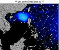
Voorspelde Golfenergie (Kracht): 12 uur
Santa Maria Anguar Surf:
Wednesday, 15 July 2026, 16:45 Local time| Wednesday 15 | ||||
| 12PM | 3PM | 6PM | 9PM | |
| Wave (m) | ||||
| Periode (s) | 6 | 6 | 6 | 6 |
| Wind (km/h) | ||||
| Wind | cross- on |
cross- on |
cross- on |
cross- on |
- /breaks/Santa-Maria-Anguar/forecasts/latest
Santa Maria Anguar Surf Guide
Santa Maria Anguar in Palau is an exposed point break that has fairly consistent surf. Offshore winds are from the east. The ideal swell direction from the northwest. A reef breaks right. Even when the surf is up, crowds are unknown. Beware of - Rips / undertow - Rocks - Sharks.
Santa Maria Anguar Spot Info
Type: Rating: Reliability: Todays Sea Temp*:  Point
Point 3
3fairly consistent 29.2°C*ocean temperature recorded from satelliteSurfing Santa Maria Anguar:
The best conditions reported for surf at Santa Maria Anguar occur when a Northwest swell combines with an offshore wind direction from the East.
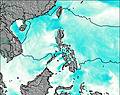
Voorspelde Golfenergie (Kracht): 12 uur
Gebruik de tabbladen hierboven om de zeewatertemperatuur bij Santa Maria Anguar te bekijken, foto's van Santa Maria Anguar, Santa Maria Anguar gedetailleerde golfvoorspellingen, wind- en weersvoorspellingen, Santa Maria Anguar webcams, actuele wind in Palau live weerstations en Santa Maria Anguar getijdenvoorspellingen. De link van Palau golfkaarten opent een grote afbeelding van Palau en de omliggende zeeën. Deze golfkaarten kunnen worden dynamisch gemaakt worden met de verschillende golfcomponenten, golfenergie, golfperiode, golfhoogte, samen met de wind en weersvoorspellingen, het actuele weer en de zeetoestand volgens golfboeien uit Palau, langskomende schepen en weerstations op de kust. Elk voorspelling pagina's voor dit surfstrand zijn voorzien van een wereldwijde en regionale golfzoeker om de beste surfsomstandigheden in het gebied rond Santa Maria Anguar te vinden.
Santa Maria Anguar Surf:
Wednesday, 15 July 2026, 16:45 Local timeWednesday 15 12PM 3PM 6PM 9PM Wave (m) Periode (s) 6 6 6 6 Wind (km/h) Wind cross-
oncross-
oncross-
oncross-
on- /breaks/Santa-Maria-Anguar/forecasts/latest
- /breaks/Santa-Maria-Anguar/forecasts/latest/six_day
Santa Maria Anguar Surf Guide
Santa Maria Anguar in Palau is an exposed point break that has fairly consistent surf. Offshore winds are from the east. The ideal swell direction from the northwest. A reef breaks right. Even when the surf is up, crowds are unknown. Beware of - Rips / undertow - Rocks - Sharks.
Santa Maria Anguar Spot Info
Type: Rating: Reliability: Todays Sea Temp*: Point3fairly consistent 29.2°C*ocean temperature recorded from satelliteSurfing Santa Maria Anguar:
The best conditions reported for surf at Santa Maria Anguar occur when a Northwest swell combines with an offshore wind direction from the East.
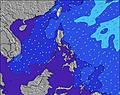
Voorspelde Golfenergie (Kracht): 12 uur
Gebruik de tabbladen hierboven om de zeewatertemperatuur bij Santa Maria Anguar te bekijken, foto's van Santa Maria Anguar, Santa Maria Anguar gedetailleerde golfvoorspellingen, wind- en weersvoorspellingen, Santa Maria Anguar webcams, actuele wind in Palau live weerstations en Santa Maria Anguar getijdenvoorspellingen. De link van Palau golfkaarten opent een grote afbeelding van Palau en de omliggende zeeën. Deze golfkaarten kunnen worden dynamisch gemaakt worden met de verschillende golfcomponenten, golfenergie, golfperiode, golfhoogte, samen met de wind en weersvoorspellingen, het actuele weer en de zeetoestand volgens golfboeien uit Palau, langskomende schepen en weerstations op de kust. Elk voorspelling pagina's voor dit surfstrand zijn voorzien van een wereldwijde en regionale golfzoeker om de beste surfsomstandigheden in het gebied rond Santa Maria Anguar te vinden.
Santa Maria Anguar Surf:
Wednesday, 15 July 2026, 16:45 Local timeWednesday 15 12PM 3PM 6PM 9PM Wave (m) Periode (s) 6 6 6 6 Wind (km/h) Wind cross-
oncross-
oncross-
oncross-
on- /breaks/Santa-Maria-Anguar/forecasts/latest
Santa Maria Anguar Surf Guide
Santa Maria Anguar in Palau is an exposed point break that has fairly consistent surf. Offshore winds are from the east. The ideal swell direction from the northwest. A reef breaks right. Even when the surf is up, crowds are unknown. Beware of - Rips / undertow - Rocks - Sharks.
Santa Maria Anguar Spot Info
Type: Rating: Reliability: Todays Sea Temp*: Point3fairly consistent 29.2°C*ocean temperature recorded from satelliteSurfing Santa Maria Anguar:
The best conditions reported for surf at Santa Maria Anguar occur when a Northwest swell combines with an offshore wind direction from the East.
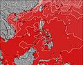
Voorspelde Golfenergie (Kracht): 12 uur
Gebruik de tabbladen hierboven om de zeewatertemperatuur bij Santa Maria Anguar te bekijken, foto's van Santa Maria Anguar, Santa Maria Anguar gedetailleerde golfvoorspellingen, wind- en weersvoorspellingen, Santa Maria Anguar webcams, actuele wind in Palau live weerstations en Santa Maria Anguar getijdenvoorspellingen. De link van Palau golfkaarten opent een grote afbeelding van Palau en de omliggende zeeën. Deze golfkaarten kunnen worden dynamisch gemaakt worden met de verschillende golfcomponenten, golfenergie, golfperiode, golfhoogte, samen met de wind en weersvoorspellingen, het actuele weer en de zeetoestand volgens golfboeien uit Palau, langskomende schepen en weerstations op de kust. Elk voorspelling pagina's voor dit surfstrand zijn voorzien van een wereldwijde en regionale golfzoeker om de beste surfsomstandigheden in het gebied rond Santa Maria Anguar te vinden.
Santa Maria Anguar Surf:
Wednesday, 15 July 2026, 16:45 Local timeWednesday 15 12PM 3PM 6PM 9PM Wave (m) Periode (s) 6 6 6 6 Wind (km/h) Wind cross-
oncross-
oncross-
oncross-
onTide Times:
Op Santa Maria Anguar (0 km).
VOLGENDE IS OM (lokale tijd) resterende tijd hoog water laag water Santa Maria Anguar Tide Times and Tide Chart
Live Weather:
At Babelthuap (Palau)/Roman Tmetuchl International Airport, 60 km from Santa Maria Anguar.
moderate winds from the NW
(km/h)
Dry and partly cloudyAir temperature
31°COverall Santa Maria Anguar Surf Consistency and Wind Distribution in July


Wind stats for Santa Maria Anguar: see the variation in direction and stength by month.
surffoto's uit
de galerijContourlijnen: Wegen & Rivieren: Kies een surflokatie uit het menu 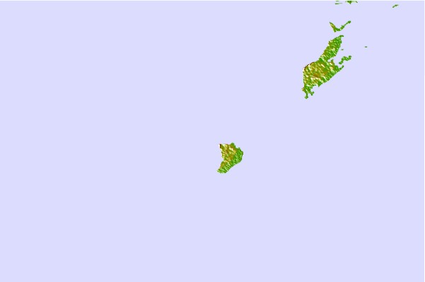
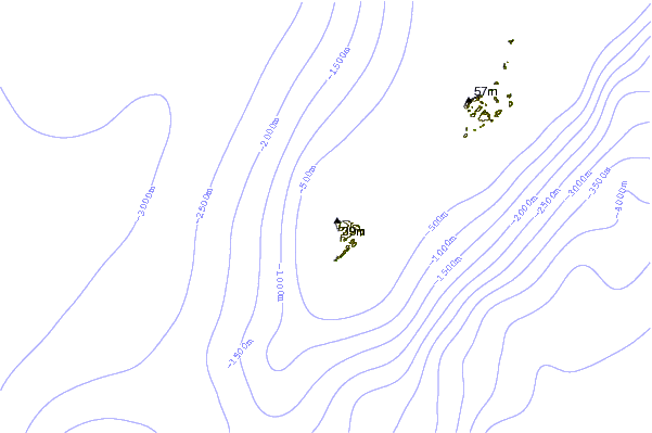
Gebruik deze reliëfkaart om naar de surfspots en de getijdenstations van Palau toe te gaan, in de buurt van Santa Maria Anguar.
Andere Dichtbijzijnde Surflocaties van Santa Maria Anguar:
(klik op locatienaam voor meer informatie)- Closest Locatie48 mi
- Second closest Locatie53 mi
- Third closest Locatie557 mi
- Fourth closest Locatie565 mi
- Fifth closest Locatie566 mi
Dichtstbijzijnde golfboeien bij Santa Maria Anguar:
- Closest golfboei851 mi
- Second closest golfboei863 mi
- Third closest golfboei941 mi
- Fourth closest golfboei971 mi
- Fifth closest golfboei1368 mi
Getijdenstations in de buurt van Santa Maria Anguar:
- Closest getijdenstationShonian Harbor13 mi
- Second closest getijdenstationMalakal Harbor37 mi
- Third closest getijdenstationKoror39 mi
- Fourth closest getijdenstationWest Passage48 mi
- Fifth closest getijdenstationNgulu Islands249 mi
Airports
- The nearest passenger airport to Santa Maria Anguar is Babelthuap Airport (ROR) in Palau Island, which is 68 km (42 miles) away (directly).
- The second closest airport to Santa Maria Anguar is Yap International Airport (YAP) in Micronesia, 522 km (324 miles) away.
- /breaks/Santa-Maria-Anguar/forecasts/latest

 Nearest